


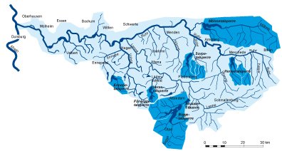
The Ruhr and its river basin
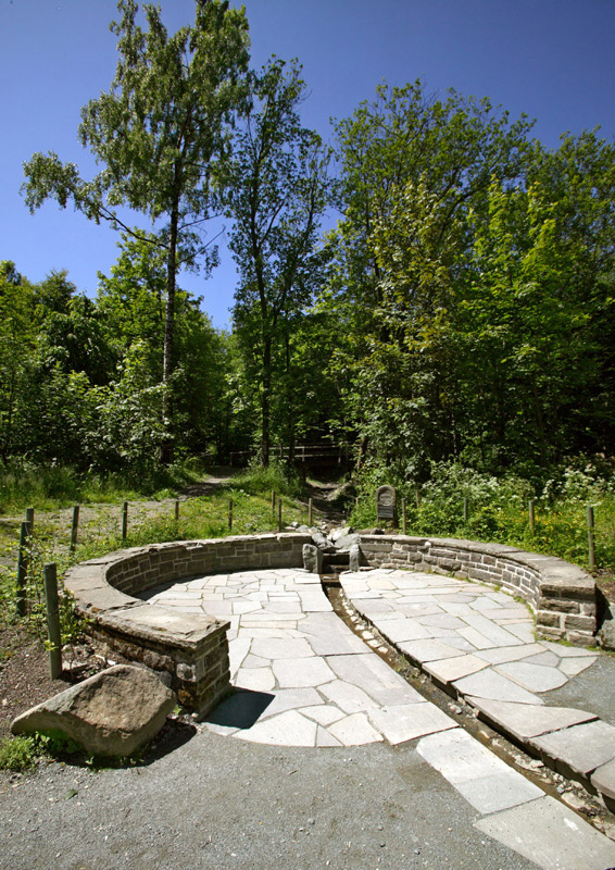
The River Ruhr is one of six larger tributaries to the Rhine in North Rhine Westphalia. Its source is located north of Winterberg in the Hochsauerland District (Hochsauerlandkreis), at 674 metres above sea level, and consists of several headstreams. The actual "Ruhr source" itself is situated on the northern slope of Ruhrkopf.
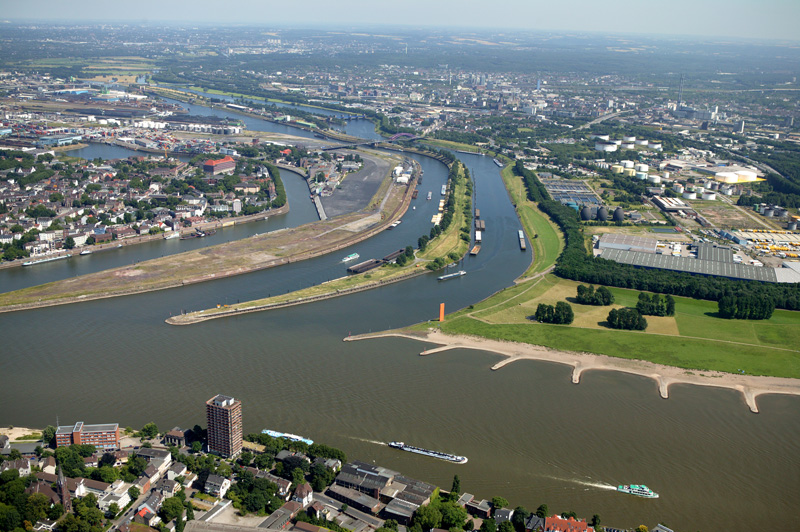
After a course of 219 kilometres, the Ruhr flows into the River Rhine in Duisburg, at 17 metres above sea level. Its most important tributaries are the Möhne, Lenne and Volme rivers. The total length of all watercourses in the Ruhr river basin amounts to 7,000 kilometres. With 1.56 kilometres per square kilometre, watercourse density is relatively high. Long-term mean annual precipitation amounts to approx. 1,000 millimetres per year.
The Ruhr river basin covers a surface area of 4,485 square kilometres. At 842 metres, Kahler Asten in Winterberg is its highest elevation. In terms of physiography, the area primarily belongs to the Rhenish Slate Mountains (Rheinisches Schiefergebirge), with the exception of the far west, starting at Mülheim, which belongs to the Lower Rhine Embayment (Niederrheinische Bucht). The northern edge borders on the Westphalian Lowlands (Westfälische Bucht). The landscape of the Ruhr river basin is dominated by low mountains and hills. The southern and northeastern parts of the river basin are used for agriculture and forestry, while the northeast is primarily characterised by urbanisation and industrialisation.
As a result of the almost exclusive location of the Ruhr river basin in the Rhenish Slate Hills, the Ruhr watercourse system consists primarily of mid-sized fine to coarse substrate-dominated siliceous highland rivers. However, local parts of the rivers Hönne and Möhne qualify as Karst waters.
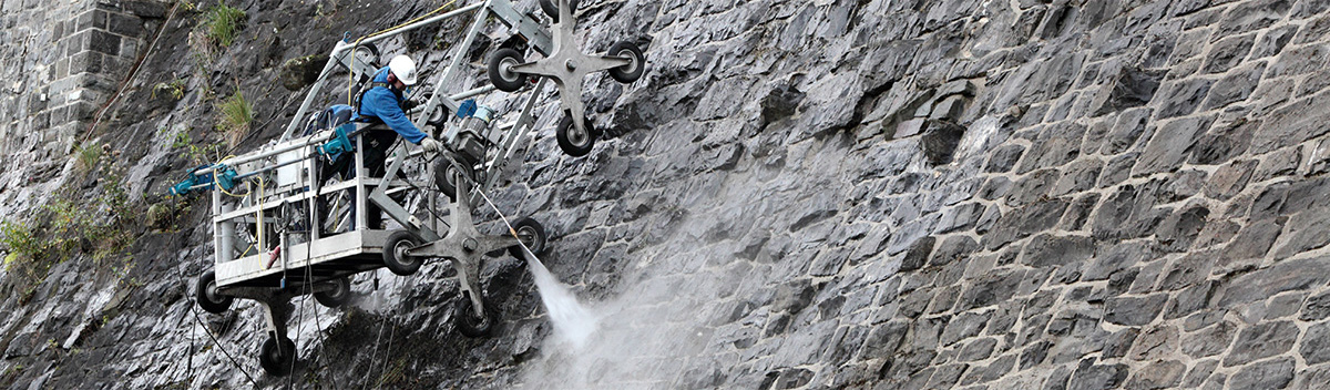
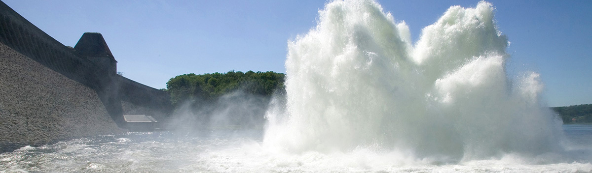
Since the Ruhr watercourse system functions as a supplier of untreated water for industrial and drinking water use, both for the population and industry, the Ruhr river regime and that of its larger side arms are strongly affected by the operation of dams and reservoirs in the Sauerland area. Moroever, the Ruhr’s five impounded lakes – Lake Hengstey, Lake Harkort, Lake Kemnad, Lake Baldeney and Lake Kettwig – and its numerous transverse structures also have an influence on the river regime. For example, the lower Ruhr is almost entirely impounded along the last 93 kilometers leading up to its mouth.
In accordance with the provisions of the European Water Framework Directive, the Ruhr river basin ist characterised as follows: 122 waters with a catchment area of more than ten square kilometres each, for which regular reports must be provided under the Directive. The overall watercourse length amounts to approx. 1,850 kilometres, or about 26.5 per cent of the total 7,000 kilometres of the watercourse system. The 122 waters are categorized into 265 water bodies, of which 185 are assessed as natural and 80 as subject to considerable hydromorphological modification. The ground water is categorised into 30 different water bodies.